PRISM-19
Surface Roughness
Soil
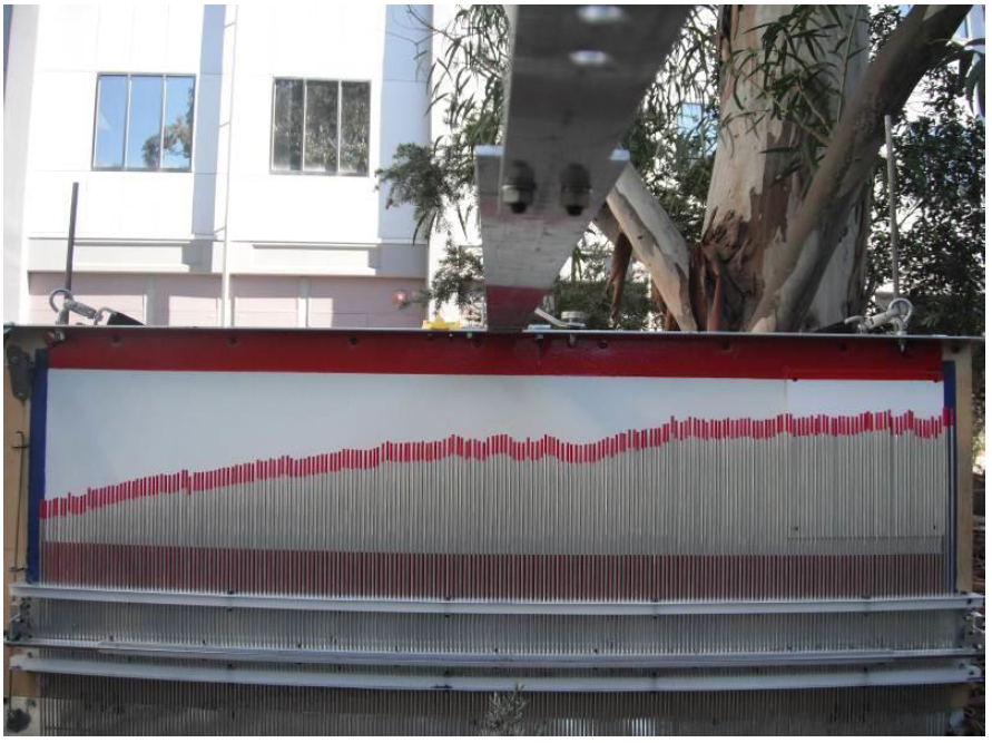
surface roughness affects the radiometric observations by
effectively increasing the surface area of electromagnetic wave
emission. Its effect on observations at P- and L-band frequencies
is difficult to quantify, and is therefore a critical parameter to
be spatially characterised across the different land cover types.
During PRISM, surface roughness will be characterized at 3
locations within each of the sampled paddocks, representing major
land cover type and roughness conditions in the 3km x 3km focus
areas. At each of the locations two 3m-long surface profiles will
be recorded. In non-tilled areas, one oriented parallel to flight
line (North-South) and one perpendicular (East-West).
Created: June 2021 Last Modified: June 2021
Maintainer: Xiaoling Wu, xiaoling.wu@monash.edu; Luisa White, luisa.whitemurillo@monash.edu